


View Virtual Exhibit
The Lonesome Trail: Arborglyphs and Basque Sheepherders in the Far West
Since the early 1890s, Kern County’s Basque community has been tied to a section of East Bakersfield that is known today as Old Town Kern. Located near the old Southern Pacific Railroad Depot (Bakers St.), this area served as an ideal location to establish ostatuaks (Boardinghouses) to welcome arriving Basque immigrants. The Iberia Hotel, the first ostatuak in Bakersfield, was opened by partners Faustino Mier Noriega and Fernando Etcheverry in 1893 and was located at 525 Sumner Street. This establishment was renamed the Noriega Hotel in 1906 but continued to house Basque immigrants and sheepherders for numerous decades, even serving as the home or work address on at least forty-four men’s draft cards during WWI. Over the years, other Basque establishments were built in close proximity to the Noriega Hotel, such as Pyrenees Café (est. 1935) and Wool Growers Restaurant (est. 1954), thus ensuring this small section of the city remained the historical epicenter for the Basque community.

The herders often used knives to carve through the paper-thin soft white bark of the Aspen Trees, which carved or scratched easily. The herders made a thin incision or cut, which could hardly be seen initially. The rest was up to the tree itself. The outline of the carving began to show a few years later after the tree scared over. If the incision is too deep the scar will be thick and hard to read later on. As the tree grows, the letters will blend together, with overlapping scarification. If the carver had a steady hand, the scar is likely to remain clear and readable for a century. It is the darkness of the scar against the sharp contrast of whiteness of the bark that many people find interest in researching or visiting. Arborglyphs are not exclusively associated with Basque Sheepherders since many cultures around the world use tree carvings. Basque etchings do display their individuality, culture, and the changing times. These arborglyphs consist of words, images, and a variety of symbols including trappers, hunters, fishermen, explorers, surveyors, politicians, landowners, cowboys, indigenous people, lovers, travelers, women, loneliness, patriotism, range conditions, religion and occasionally world events. While they may take a few years to develop, other herders throughout future seasons and generations would be able to read and receive the messages. The tree carvings transcend time. Another reason in which Aspen trees could have been picked is when an Aspen tree dies, signals from the tree travel to the roots, stimulating new sprouts growth. Through this regrowth. Subsequent Aspen clones live much longer than its individual trees.

Exhibit hours Monday-Thursday 8am-10pm, Fridays 8am-5pm, Saturdays 11am-5pm, and Sundays 11am-10pm
The exhibit will start October 2023 and run through the Spring 2025 semester.
America’s Newest Cities: Housing and “Red Lining” in
California’s Central Valley
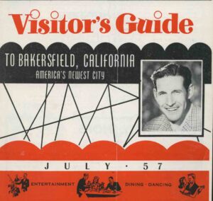
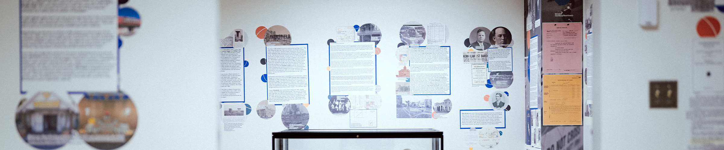
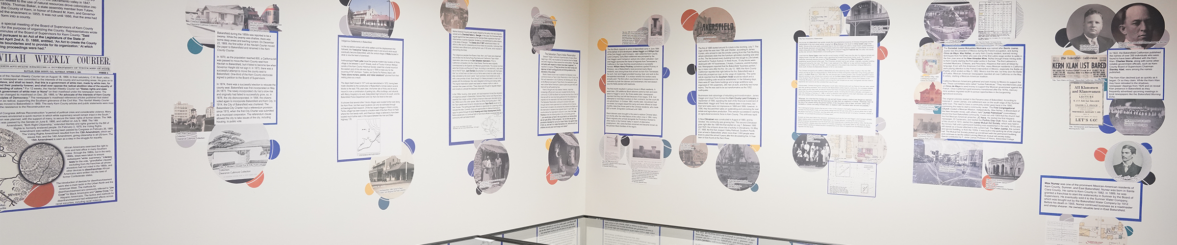
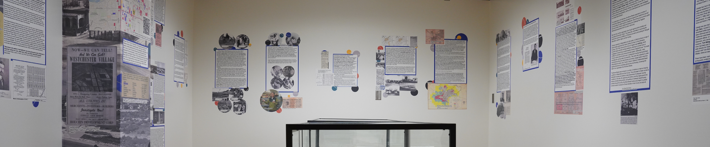
The Historical Research Center’s exhibit, titled America’s Newest Cities: Housing and “Red Lining” in California’s Central Valley, examines housing discrimination in Bakersfield and Kern County. Supervised by HRC scholars, the exhibit was made possible by “The Gallery Group,” a group of students, alumni, staff, and even a high school student intern! Our volunteers are tasked with researching BIPOC lived experiences in Bakersfield and Kern County from 1866 to the present. Other topics researched include local Indigenous histories, the local Chinatowns, the development of Oildale, and policing as it relates to race and housing. This semester, the HRC staff has been researching and uploading primary sources to “Redlining in Bakersfield,” a companion website to the exhibit (https://hrc.csub.edu/housing-history/), which includes racially restrictive covenants, and information about suburbanization, Eminent Domain, and Buying on Contract.
Read about the exhibit
https://news.csub.edu/exploring-housing-discrimination-in-kern-county
Exhibit hours Monday-Thursday 8am-10pm, Fridays 8am-5pm, Saturdays 11am-5pm, and Sundays 11am-10pm
The exhibit will start October 2023 and run through the Spring 2025 semester.
Visit Virtual Exhibit
Learn about the Redlining Exhibit