Japanese internment

 Before 1938    –  Buying on Contract     Covenants  –   Covenant Database   –  East Bakersfield     

    Education    –   Eminent Domain     –     Moving into a Neighborhood   –    Neighborhoods     

 Public Housing   –  Resources    –   Rumford Fair Housing Act     Suburban Expansion   –   Zoning 

President Franklin Delano Roosevelt signed Executive Order 9066 on February 19, 1942, two months after the attack on Pearl Harbor. The executive order authorized the War Department to designate military area. The order was neutral in language; however, it targeted more than 110,000 Japanese, relocating all persons of Japanese ancestry, both citizens and aliens, inland, outside of the Pacific military zone. Within weeks all persons of Japanese ancestry, whether citizens or enemy aliens, young or old, rich or poor, were ordered to assembly centers near their homes. Soon they were sent to permanent relocation centers outside the restricted military zones. Japanese were subjected to white hostility and laws were enacted to pull them from full participation in economic and civic life. Japanese immigrants, known as Issei, could not own land, eat in white restaurants, or become naturalized citizens. But the American-born descendants of Japanese immigrants, called Nisei, were citizens by birthright, and many had become successful in business and farming. Pearl Harbor gave whites a chance to renew their hostility toward their Japanese neighbors. The attack on Pearl Harbor also launched a rash of fear about national security, especially on the West Coast Civil liberties advocates brought lawsuits to try to challenge the constitutionality of Japanese relocation – but a timid Supreme Court refused to overturn the internment orders. By mid-1944, the government began to release some internees that they certified to be loyal Americans, but the majority remained locked up. The internees were ultimately released in January 1945, and many returned to their homes and tried to rebuild their lives. Some found that their homes had become occupied by strangers and needed to evict them in order to move back in. For many others, the years behind barbed wire had resulted in financial calamity, and they faced the daunting task of starting over with nothing. In 1948, the Federal government distributed a mere $37 million in reparations. During the Reagan-Bush years Congress moved toward the passage of Public Law 100-383 in 1988 which acknowledged the injustice of the internment. This was after 40 years of political agitation, Japanese Americans persuaded Congress to approve legislation providing an official apology and a payment of 20,000 to each surviving internee.


The image is a historic printed street map titled “Map of the City of Bakersfield, California.” The map is oriented with north at the top and shows a dense grid of streets, lot divisions, and railroad corridors. The Kern River runs along the upper left edge of the map. Railroad lines and rail yards appear across the central and eastern sections. Street names and block numbers are printed throughout.Several areas are marked or shaded in red: A cluster of red-highlighted blocks appears in the central downtown area. Additional red markings appear in the south-central portion of the city. A large red-shaded block appears in the southwest corner of the mapped area. These red marks appear to indicate selected properties or concentrations of a particular classification. The legend at lower right includes symbols labeled: Japanese occupants Water wells & pumping stations Power substations Railroad stations Hospitals Gas plant Telephone exchanges Industrial plants Canals Pipelines Handwritten red annotations are visible near the lower right portion of the map, including a note referencing “Possible area — Resubmitted No 8 block 16–17–? — Japanese at Washington” (exact phrasing partially unclear due to legibility). The annotations suggest the map was used analytically, possibly to identify concentrations of Japanese residents or specific property groupings. The map appears to function as a planning, survey, or demographic reference document, highlighting specific properties or occupancy patterns within early-to-mid 20th-century Bakersfield.
City of Bakersfield, Calif., [Collection of maps on the pre-evacuation locations of Japanese Americans in California / prepared under the direction of Earl Warren, State Attorney General], G4361.E1 1942 .C3 no. 72, The Bancroft Library, University of California, Berkeley. http://oac-upstream.cdlib.org/ark:/13030/k6f76js2/
Japanese residents faced forced displacement from their homes to internment camps. In February 7, 1942 the Kern County Farm Bureau wrote to AJ Elliot, a Kern County Representative, to remove Japanese workers from the West Coast, citing the feelings of White farmers. The Board of Supervisors sent meeting minutes urging the evacuation of “all enemy aliens,” and “Evacuate [to] all Japanese, concentration camps.” Frank Stockton wrote that they were assessing the labor needs in regard to removing Japanese workers. Stockton was a consistent writer expressing his ideas and advocated for forced removal. He wrote, “… all Japanese should be concentrated in areas away from vital communication lines and should be rigidly guarded and that they be made to contribute their labor to the defense effort to the fullest extent.” Farm Bureau across California made special requests and memorandums and completed reports in order to support interment. Letters also came from residents who expressed similar animosity, “I wish to compliment you on the comments you have been making recently regarding the ejection of the Japs from California.” In Bakersfield, a special zone was creating high alerts and restricted areas to limit Japanese migration in March 1942. The same zones would be used to remove Japanese residents. On the 26th of March the FBI raided 60 homes in Kern County, ranging from Bakersfield, Delano, Arvin, were army trucks were used to round up citizens. The War Relocation Authority conducted research profiles on each person. Information ranged from race, residence, citizenship, travel, occupation, experiences, education, present and former addresses. The Department also tallied and collected “feelings and concerns,” from residents. Writers expressed their opinions on not supporting war bonds, if Japanese citizens fought on the US side of the war. The Bakersfield Californian was described as “antagonistic towards Japanese Americans,” describing residents as only occasionally loyal to the United States and prisoners of war.


This image is a large-format cartographic document titled:“General Highway Map – Kern County, California.” The map is printed primarily in blue ink on a white background and appears to be an official planning or highway department map. The county is shown in a rectangular format, with township and range grid lines covering the entire area. Overall Layout Bakersfield is located near the center of the map. The surrounding county is divided into a regular grid of squares labeled with township and range designations (e.g., T.29S., R.27E., etc.). Rivers, creeks, canals, highways, railroads, oil fields, and other infrastructure are marked in various line styles and symbols. Central Area (Bakersfield) The city of Bakersfield is shown as a dense cluster of streets forming a tight grid. Major transportation corridors radiate outward, including: Rail lines Highway routes Diagonal transportation routes intersecting the city Some areas are highlighted in red and purple blocks, likely indicating specific sites or planning areas. The Kern River is visible to the north of central Bakersfield. Surrounding Areas Agricultural land is represented by open grid sections with minimal development markings. Oil field areas and energy-related infrastructure are indicated by symbols (small dots and specialized markings). Outlying communities and ranch lands are labeled, including references to areas such as Tejon Ranch. Water features such as canals and drainage lines are clearly marked in blue. Bottom Section At the bottom of the map: A key-to-sheets inset map shows how the county is divided into numbered sections (1 through 13). A detailed legend lists symbols used on the map, including: State highways County roads Railroads Canals and water features Airports Oil wells Power plants Other infrastructure symbols Text at the bottom right identifies the producing agency as a state public works or highway planning office (Department of Public Works, Statewide Highway Planning Bureau). The map is labeled as one sheet of a multi-sheet series. Visual Characteristics Clean drafting style typical of mid-20th-century planning maps. Blue linework dominates. Handwritten pencil notes are visible near the lower center area. Colored blocks (red and purple) appear to have been added later, likely to mark specific properties or study areas. The overall tone suggests a formal planning or engineering document.
General Highway Map, Kern County, Calif. Sheet 7, [Collection of maps on the pre-evacuation locations of Japanese Americans in California / prepared under the direction of Earl Warren, State Attorney General], G4361.E1 1942 .C3 no. 65, The Bancroft Library, University of California, Berkeley. http://oac-upstream.cdlib.org/ark:/13030/k6bg2v7k/
The economic effects of Japanese forced relocation in Bakersfield remain unstudied. Reports from Los Angeles, a larger metropolitan area, reported that $10,000,000 in real property was affected, and that Whites bought all the real property, the Jewish community bought all the merchandise, and some Hispanic families bought their restaurants all at discounted rates and often at the cost of the Japanese. Los Angeles real estate groups sought Chinese, Mexican, and Filipino tenants for their new properties. Kern County labor was filled with migrants at Farm Security Camps; based on racial boundaries expressed in the Dust Bowl Oral Histories, these were most likely white migrants.

Visit Japanese American Evacuation and Resettlement Records, at The Bancroft Library, University of California, Berkeley.

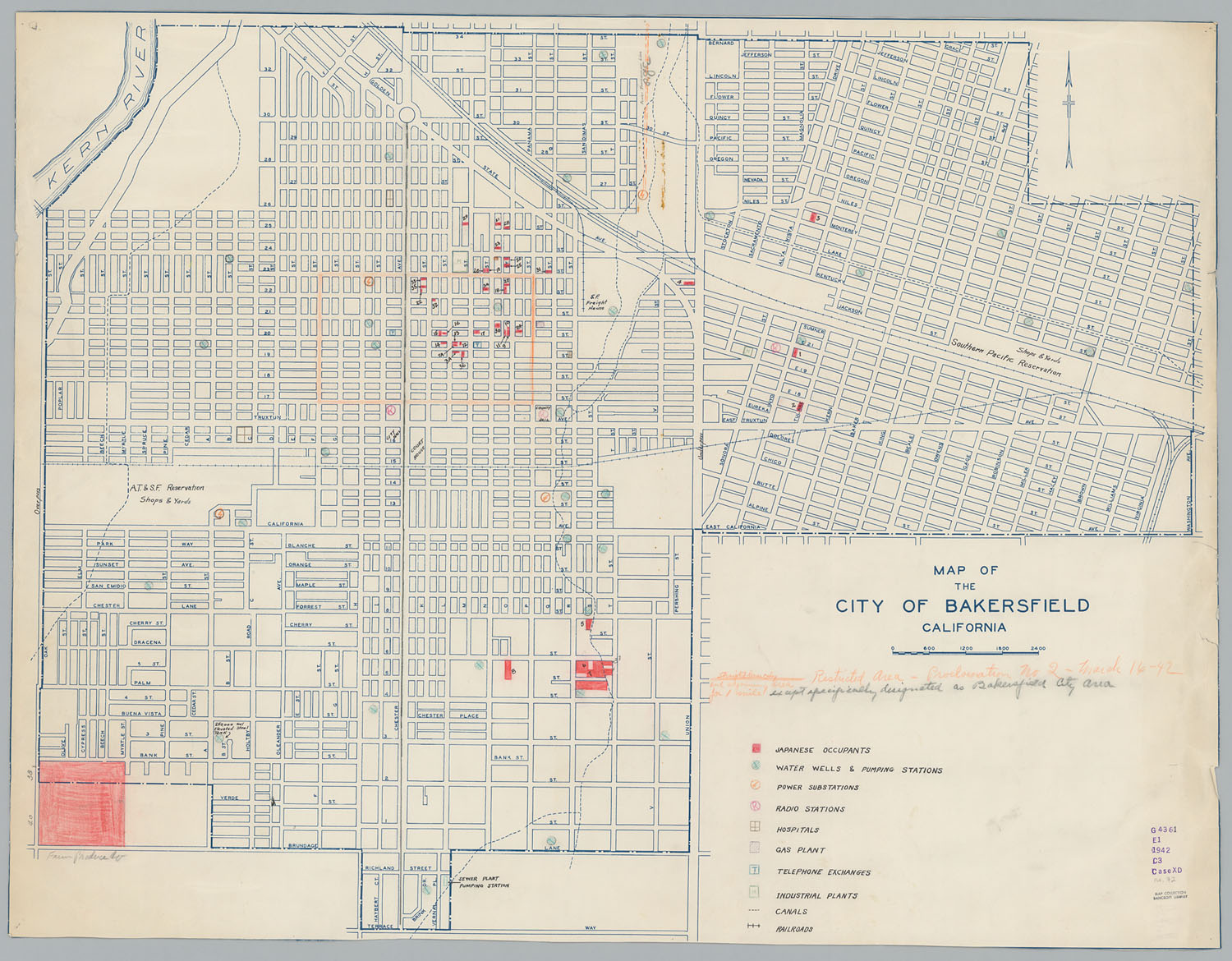
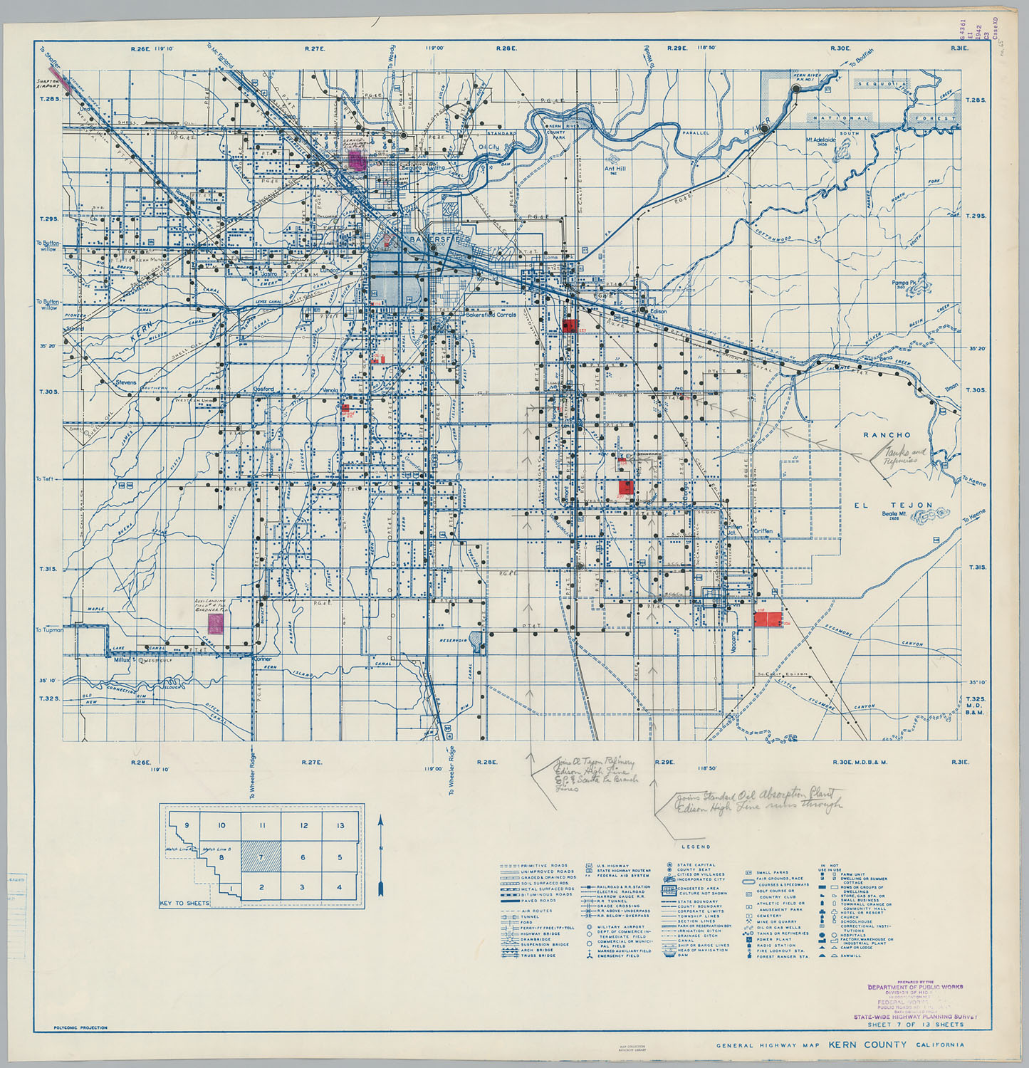
In April 1942, Frank Kawasaki, the president of the Kern County Japanese Association, was arrested by the FBI. Kawasaki was in charge of 150 Japanese workers on the DiGorgio Farms in Arvin. He was accused of sending money to Japan. Other legal cases included a California lawsuit to take land rights away from Japanese citizens. The case sought to take shares and financial interest from a Kern County farm and produce company that had Japanese American stockholders. 25% belonged to Tsunezo Kinoshita, J. Kubotsu Tanigaki, K. Tanaka, Irene Tanigaki, K. Kubostu, and Reymond Tatsuno.

Interment detainees formed sports teams organized by their former city residences. Bakersfield Oilers, Bakersfield AA Indians, Delano, was a sports team in Poston Internment camp. Many were also drafted and served in the US Army. Records from those relocated from Bakersfield stated they had some property and books in the Bakersfield Buddhist Church. 1943 reports state that personal belongings left behind were stored in schools and churches in Bakersfield and Delano, and they agreed to move all property to the camps, this included the Delano Japanese Language School. Others like Henry Hideo Miwa state that he had personal property left behind while living in caboose on the ranch of Frank Alexis, Bakersfield. Some died at the internment camps, and others went to school in internment camps.

Poston reports state that there were 134 individuals from Bakersfield in October of 1942. Daily activities were logged with extreme detail, only described as under constant surveillance. Two internees were watched under specific order, just for expressing leadership in their camps.

Cream-colored typed index card with handwritten notations.Full visible typed text (verbatim): Pres. et al. Board of Supervisors, Kern County Calif 2/24/42 J Evacuate ALL Japanese, concentration camps Handwritten markings visible on the card: The word “County” is lightly circled in pencil. Faint pencil marks appear to the right of the main sentence. In the lower right corner, written in red pencil: P3
Telegrams being sent to the president in regards to the Japanese living on the west coast, Japanese American Evacuation and Resettlement records, BANC MSS 67/14 c, folder J3.21:2, The Bancroft Library, University of California, Berkeley. https://digicoll.lib.berkeley.edu/record/176339?ln=en&v=pdf

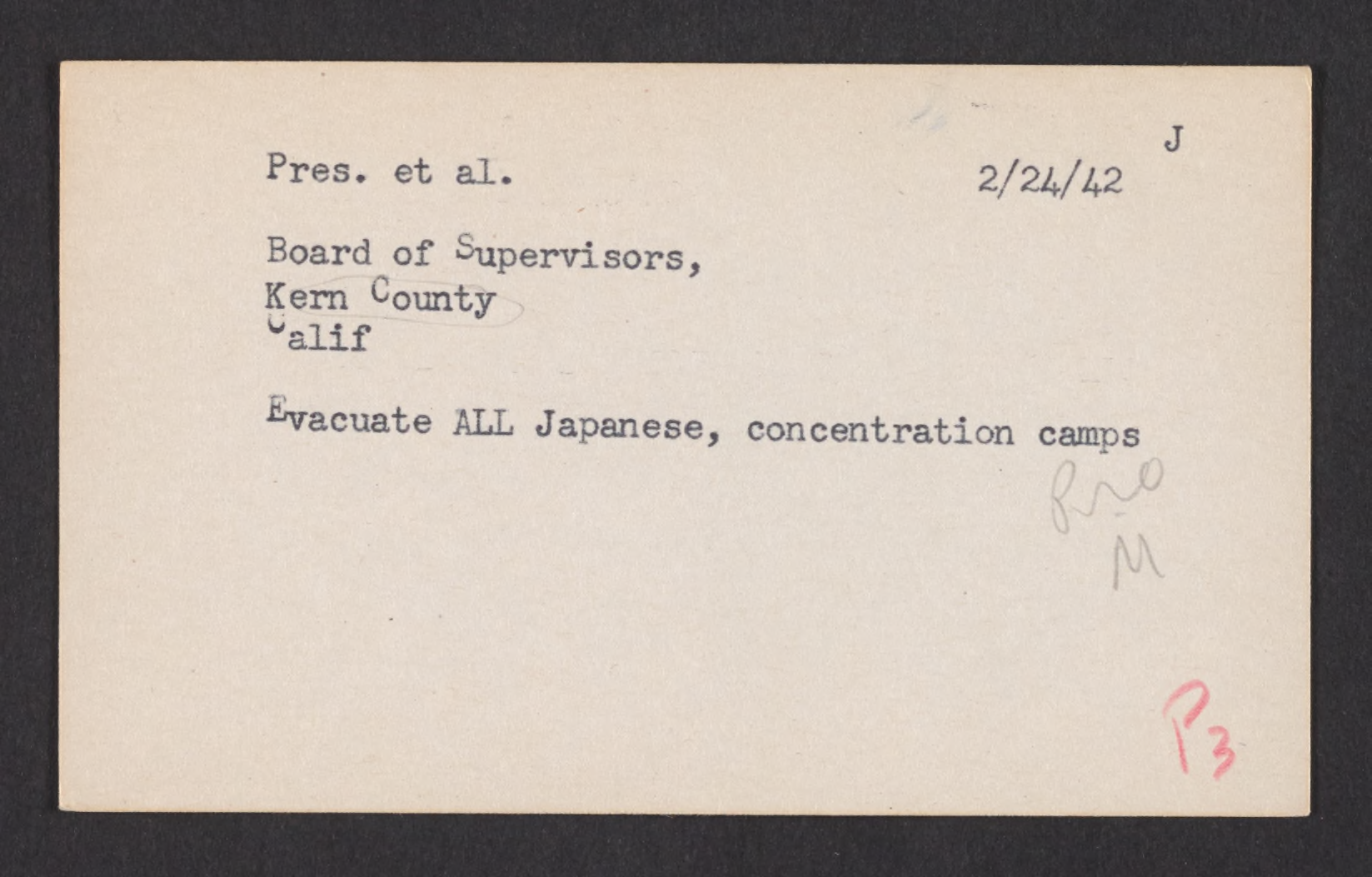
A local resident stated, “Then there will be bloodshed. Call it racial prejudice if you wish, but there is a growing sentiment against ever letting them return.” (1944)

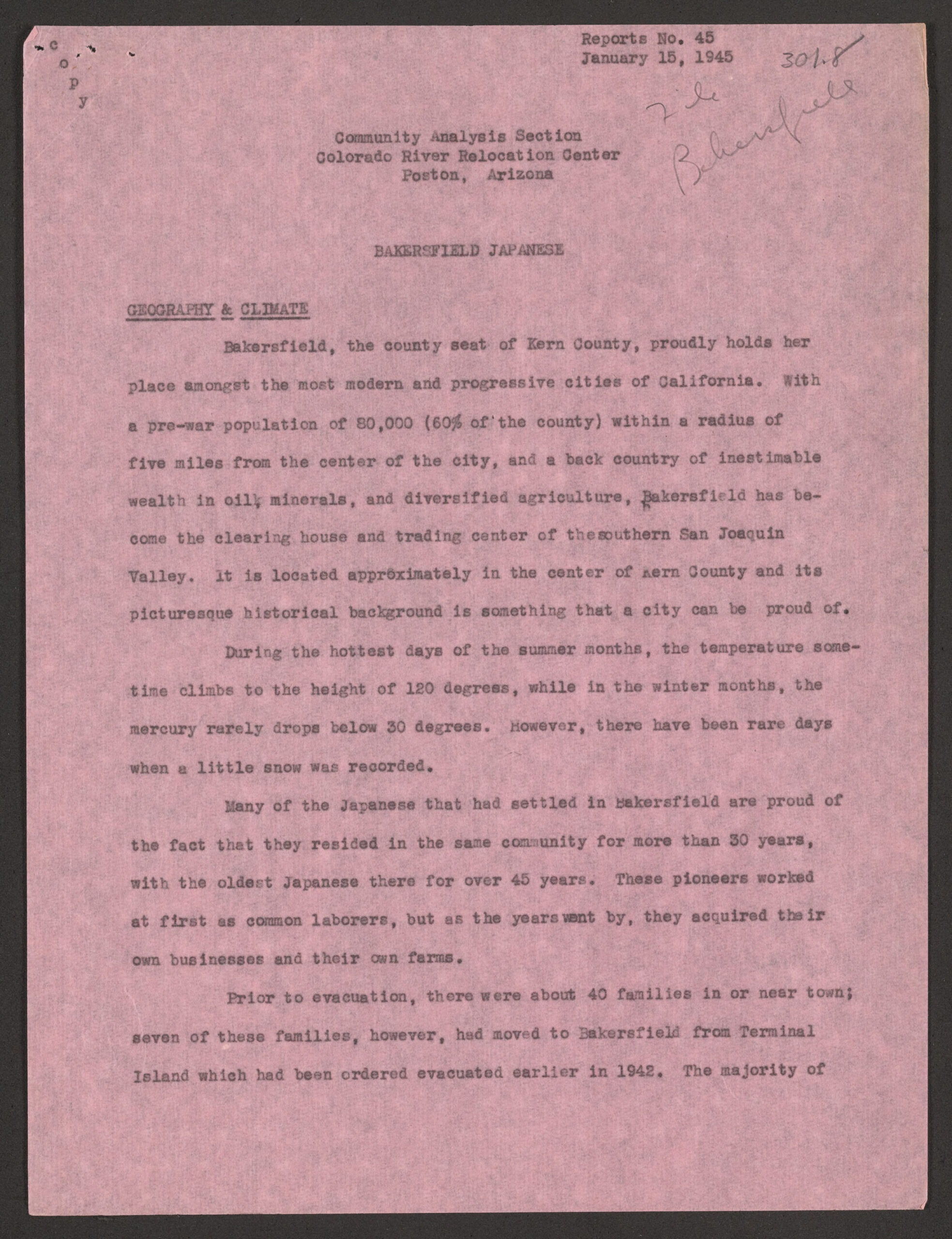
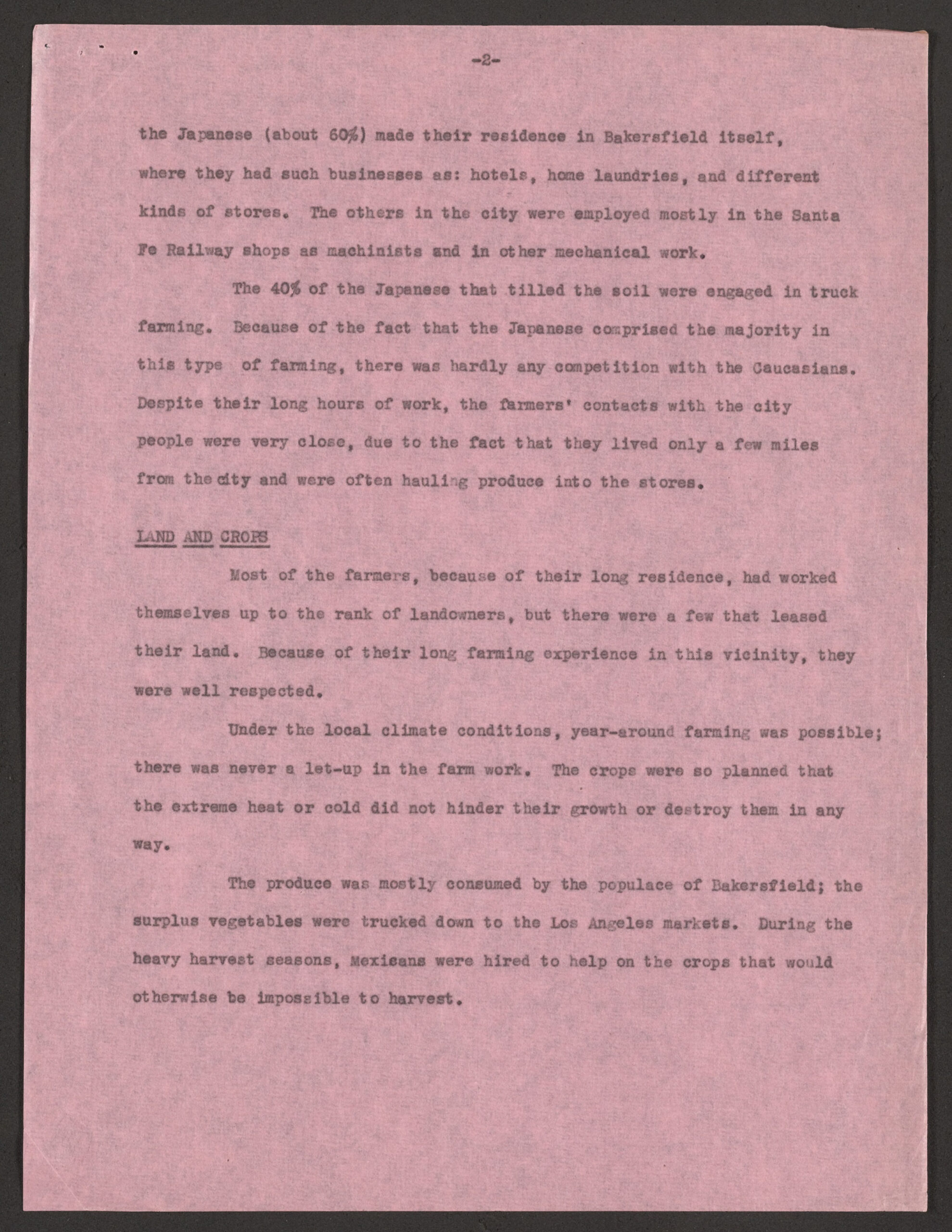
In 1945, a Bakersfield biography was created describing the Japanese community. They took immense pride coming from Bakersfield; most had resided in the city for over 30 years, and the oldest being in the city for 45 years. They worked hard and were able to move up from laborers to owning businesses and owning farms. There were about 40 families before the internment. They had hotels, home laundries, and stores. Sixty percent found employment at the Santa Fe shops as machinists and mechanics. Forty percent found work as truckers for farming and found little competition. Most of the farm workers became owners and were well respected. They sold most of their merchandise locally and sold surplus vegetables in Los Angeles. They hired migrant Mexican labor.

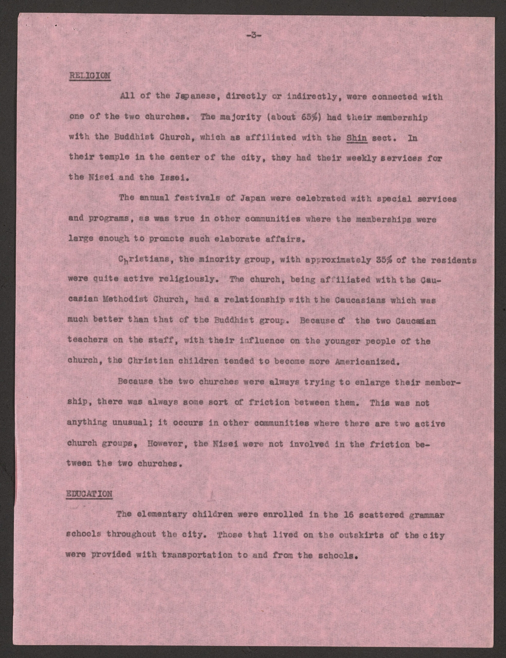
They were sixty-five percent Buddhist, Shin sect. They held festivals celebrating special services and programs, and large participation created festival-size affairs. Thirty-five percent were Christians and was more popular amongst Americanized individuals. Friction existed due to recruiting.

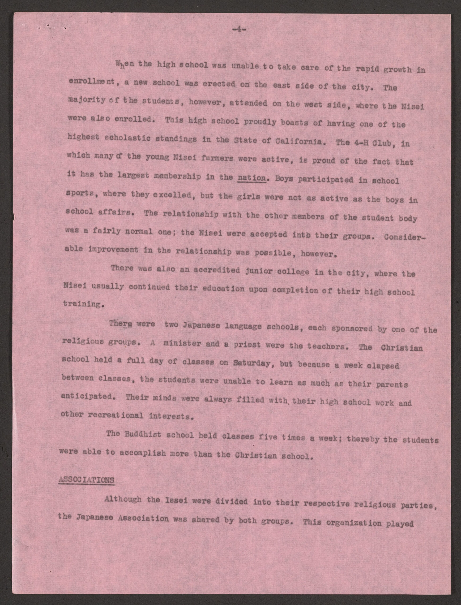
Education was scattered through 16 schools in the city. Most students attended Kern Union High School, even after the construction of East High. They held high scholastic standings and were in 4-H farming programs. Most attended Bakersfield College. There were two Japanese Language schools. The Christian School taught one day, and the Buddhist school taught all weekdays.

The community had a mutual aid society, which contributed up to $100 dollars per contribution. They helped welfare for the Japanese, but also other minority groups. They also had a women’s group. They had recreation groups for Judo and Kendo (fencing). The community had different relationships with white friends, ranging from business school sports, but did feel excluded from integration. Bakersfield residents continued to voice against the returning of residents, but some had changed their minds due to Japanese American heroism in the war.

The impact of relocation:

Many farmers stored their equipment, some leased theirs with their farms, and many of them sold theirs at great loss due to the conflicting news distributed by different government agencies. The new volunteers were settled in blocks 6 and 11 at Poston [Arizona], but later arrivals were assigned to Blocks 14 and 19. Later, however, when the people became settled, some moved into other blocks. At present, they were scattered through Camp 1 Blocks 6, 11, 13, 14, 15, 19, 26, 30, 30, and 31. Correspondence with Caucasian friends is carried on to a certain extent, but the majority of the news about Bakersfield reaches Poston Through the Newspaper. Paul Higashi, Assistant Community Analyst

Reports, Nos. 23-28, 30-56 [Community Analysis Section], Japanese American Evacuation and Resettlement records, BANC MSS 67/14 c, folder J3.21:2, The Bancroft Library, University of California, Berkeley. https://digicoll.lib.berkeley.edu/record/173574?ln=en&v=pdf

Pink paper report page. Typed text reads (verbatim as visible): Reports No. 45 January 15, 1945 Community Analysis Section Colorado River Relocation Center Poston, Arizona BAKERSFIELD JAPANESE GEOGRAPHY & CLIMATE Bakersfield, the county seat of Kern County, proudly holds her place amongst the most modern and progressive cities of California. With a pre-war population of 80,000 (60% of the county) within a radius of five miles from the center of the city, and a back country of inestimable wealth in oil, minerals, and diversified agriculture, Bakersfield has become the clearing house and trading center of the southern San Joaquin Valley. It is located approximately in the center of Kern County and its picturesque historical background is something that a city can be proud of. During the hottest days of the summer months, the temperature sometimes climbs to the height of 120 degrees, while in the winter months, the mercury rarely drops below 30 degrees. However, there have been rare days when a little snow was recorded. Many of the Japanese that had settled in Bakersfield are proud of the fact that they resided in the same community for more than 30 years, with the oldest Japanese there for over 45 years. These pioneers worked at first as common laborers, but as the years went by, they acquired their own businesses and their own farms. Prior to evacuation, there were about 40 families in or near town; seven of these families, however, had moved to Bakersfield from Terminal Island which had been ordered evacuated earlier in 1942. The majority of (End of visible text on this page.) Handwritten notations in pencil appear in the upper right corner, including the name “Bakersfield” and a numerical notation that appears to read “3018.”

Pink paper report page. Top center reads: -2- Typed text reads (verbatim as visible): the Japanese (about 60%) made their residence in Bakersfield itself, where they had such businesses as: hotels, home laundries, and different kinds of stores. The others in the city were employed mostly in the Santa Fe Railway shops as machinists and in other mechanical work. The 40% of the Japanese that tilled the soil were engaged in truck farming. Because of the fact that the Japanese comprised the majority in this type of farming, there was hardly any competition with the Caucasians. Despite their long hours of work, the farmers’ contacts with the city people were very close, due to the fact that they lived only a few miles from the city and were often hauling produce into the stores. LAND AND CROPS Most of the farmers, because of their long residence, had worked themselves up to the rank of landowners, but there were a few that leased their land. Because of their long farming experience in this vicinity, they were well respected. Under the local climate conditions, year-round farming was possible; there was never a let-up in the farm work. The crops were so planned that the extreme heat or cold did not hinder their growth or destroy them in any way. The produce was mostly consumed by the populace of Bakersfield; the surplus vegetables were trucked down to the Los Angeles market. During the heavy harvest seasons, Mexicans were hired to help on the crops that would otherwise be impossible to harvest.Pink paper report page. Top center reads: -3- RELIGION All of the Japanese, directly or indirectly, were connected with one of the two churches. The majority (about 65%) had their membership with the Buddhist Church, which was affiliated with the Shin sect. In their temple in the center of the city, they had their weekly services for the Nisei and the Issei. The annual festivals of Japan were celebrated with special services and programs, as was true in other communities where the memberships were large enough to promote such elaborate affairs. Christians, the minority group, with approximately 35% of the residents were quite active religiously. The church, being affiliated with the Caucasian Methodist Church, had a relationship with the Caucasians which was much better than that of the Buddhist group. Because of the two Caucasian teachers on the staff, with their influence on the younger people of the church, the Christian children tended to become more Americanized. Because the two churches were always trying to enlarge their membership, there was always some sort of friction between them. This was not anything unusual; it occurs in other communities where there are two active church groups. However, the Nisei were not involved in the friction between the two churches. EDUCATION The elementary children were enrolled in the 16 scattered grammar schools throughout the city. Those that lived on the outskirts of the city were provided with transportation to and from the schools.-4- When the high school was unable to take care of the rapid growth in enrollment, a new school was erected on the east side of the city. The majority of the students, however, attended on the west side, where the Nisei were also enrolled. This high school proudly boasts of having one of the highest scholastic standings in the State of California. The 4-H club, in which many of the young Nisei farmers were active, is proud of the fact that it has the largest membership in the nation. Boys participated in school sports, where they excelled, but the girls were not as active as the boys in school affairs. The relationship with the other members of the student body was a fairly normal one; the Nisei were accepted into their groups. Considerable improvement in the relationship was possible, however. There was also an accredited junior college in the city, where the Nisei usually continued their education upon completion of their high school training. There were two Japanese language schools, each sponsored by one of the religious groups. A minister and a priest were the teachers. The Christian school held a full day of classes on Saturday, but because a week elapsed between classes, the students were unable to learn as much as their parents anticipated. Their minds were always filled with their high school work and other recreational interests. The Buddhist school held classes five times a week; thereby the students were able to accomplish more than the Christian school. ASSOCIATIONS Although the Issei were divided into their respective religious parties, the Japanese Association was shared by both groups. This organization played -5- the major role that it did in other Japanese communities throughout California. Through the Association there was “taxation” imposed on the people in the form of voluntary donations to promote the welfare of the Japanese residents. These donations, asked also by other minor groups, occasionally ran as high as $100 for an annual contribution. The Buddhist and the Christian churches alike had their Fujin-Kai (Women’s Club), whose prime interest centered around the children’s welfare. RECREATION Recreational activities were enjoyed by both the Issei and the Nisei in their respective ways. The Issei activities were limited; annual picnics and short vacations were their chief forms of relaxation. At home, it was centered around card playing, other games, reading, and writing. Once in a great while, a Japanese movie would be sponsored by the Japanese Association for the Issei and the Nisei alike. The range of Nisei activities was much greater than that of the Issei. Their recreational programs were quite similar to those of the Caucasians of their age group. In addition to their activities with their Caucasian friends, many of the Nisei were enrolled in either the kendo (fencing) or judo (wrestling) classes. The kendo group was formed at the time that most of the towns in California were organizing this Japanese sport for recreational purposes. Although many of the Christians were enrolled in kendo, it was not connected with the church. It was open to everyone regardless of the difference in churches. Judo, however, was taught by the Buddhist priest and sponsored by their church. It, too, was open to the public as recreation and as training in self-defense.-6- RACE RELATIONS The Nisei, through school contacts with Caucasian friends, were being assimilated rapidly. This was especially true of the boys, who by setting excellent records for themselves in school sports, became respected by the student body. Their contacts through the Christian church somewhat improved the relationship of the Japanese with the occidental Americans. Issei had contacts with the Caucasians primarily through business relationships, but these were quite limited. The Issei were but little integrated into the American culture and society. They felt excluded from everything American. Older Issei now realize after evacuation that their lives isolated them from assimilation into the American way of life. Though many of the Bakersfield Caucasians, after three years since evacuation, are still raising their voices against the return of Japanese to their former homes, a percentage of them have changed their minds since the publicization of the heroic deeds of the 100th and 442nd Battalions. However, there are still very many narrow-minded ones that keep the same attitude toward the Japanese-Americans, regardless of their citizenship and their contribution to the national welfare. EVACUATION Due to the conflicting rumors that circulated during the early stages of evacuation, no one was certain what was going to happen. Because necessary preparations were made in this city by the Buddhist and Christian churches, however, there were no cases of confusion like those experienced in some communities.-7- Many of the farmers stored their equipment, some leased theirs with their farms, and many of them sold theirs at great loss due to the conflicting news distributed by the different government agencies. The few volunteers that preceded the majority of the Bakersfield people were settled in blocks 6 and 11 of Poston, but the later arrivals were assigned to Blocks 14 and 19. Later, however, when the people became settled, some moved into other blocks. At present, they are scattered throughout Camp I in Blocks, 6, 11, 13, 14, 15, 19, 26, 30 and 31. Correspondence with Caucasian friends is carried on to a certain extent, but the majority of the news about Bakersfield reaches Poston through the newspaper. Paul Higashi Assistant Community Analyst